 Tanzania
 Uganda
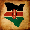 Kenya
Kenya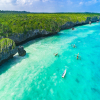 Zanzibar
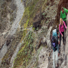
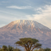
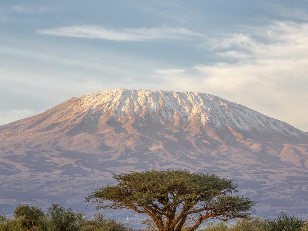
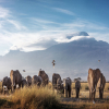
Ecology zones of Mt Kilimanjaro
Mount Kilimanjaro is made up of five distinct climate zones. Which are; Cultivation, Forest, Moorland, Alpine Desert, and arctic climate zones. Beneath we will look at each zone and its uniqueness. You will read through all of these zones on your ascent of the tallest mountain in Africa.
CULTIVATED ZONE
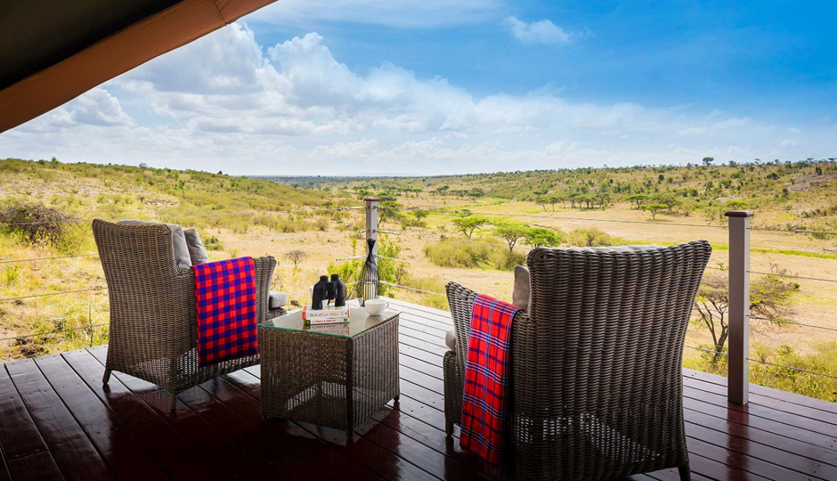
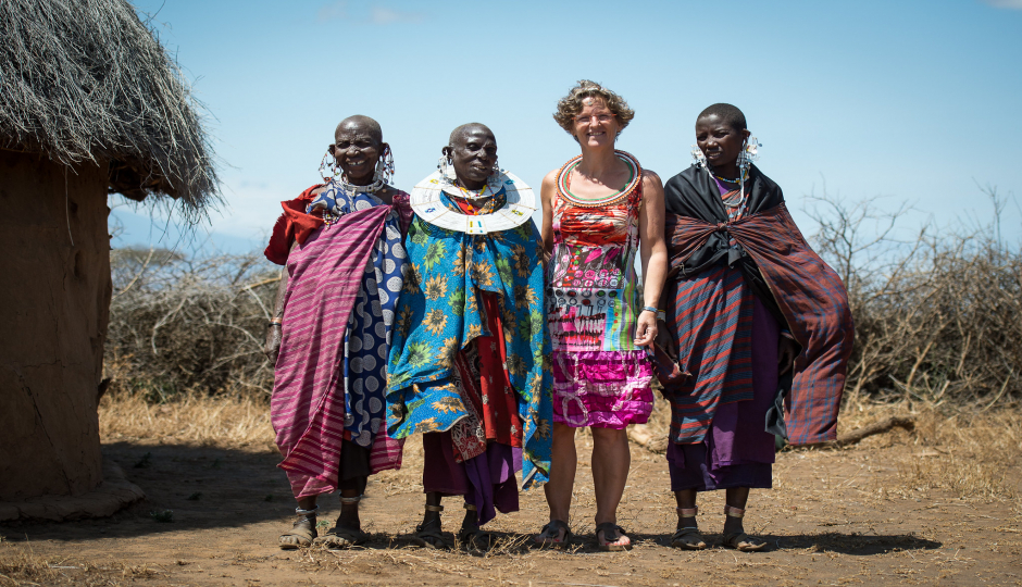
It is also recognized as the bushland zone which is the lowest zone on the foothills of Mount Kilimanjaro in Northern Tanzania it is assumed by the majority to be the latest interesting zone, as it is settled under cultivation. It has a wealth of its own and offers much to the fresh visitor beginning a Kilimanjaro trekking tour.
Altitude: it is approximately 2,600 to 6,000 ft. (800 to 1,800 m) Nevertheless, this region of the mountain is ironic with fertile volcanic soil as well as it receives the greatest annual rainfall. Similarly, it has many rivers formed by the glacier from the top of Kilimanjaro. Hence it makes an ideal land for agriculture actives. The Chagga people settled in these villages and practiced farming a different variety of crops such as coffee, banana as well as other tropical fruits, the best African coffee comes from the foothills of Kilimanjaro Mountain Majority of the local mountain guides and porters are from the nearby villages. It’s very rare to see large animals here due to the farming activities practiced here.
FOREST / RAINFOREST ZONE
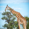
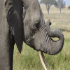
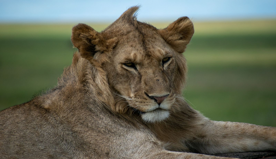
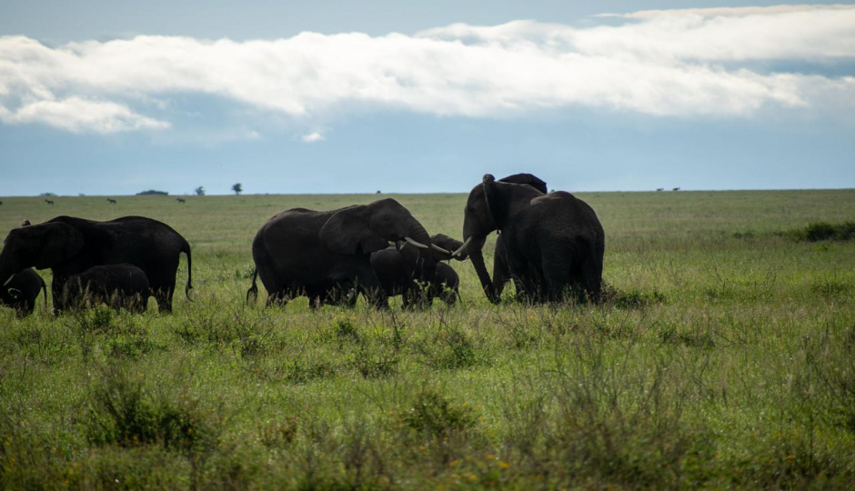
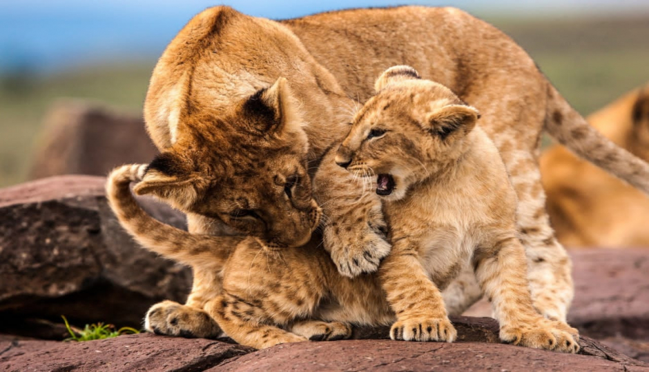
Altitude: it is approximately 6,000 -9,200 ft. (1800m – 2800m). This is a popular circle zone of Mount Kilimanjaro.it is soaked by six to seven feet of rain per year and bursts with biodiversity, but during the day the temperature is warm and the humidity is high categorized by this dense forest climate zone. Nevertheless nights rainy can produce surprisingly low temperatures. Though, most of the rain on the mountain falls on the south and the east side. The forest is much denser here than on the north Kenyan side of the mountain. Where the flora and fauna have varied the animals and other various species of ferns, olive trees, and palms dripping are found here. The climbers approaching the summit from the thinner jungle on the Rongai Route, Lemosho Route, and on the edges of the Shira Plateau may be lucky enough to spot some few animals such as antelope, both Blue and Colobus monkeys are prevalent on certain routes and while olive baboons, leopards, mongooses, elephants, black rhinoceros, giraffes, and buffaloes are recognized to visit the mountain’s grades they are rarely seen. The colors seem more vibrant than in any forest you have ever seen.
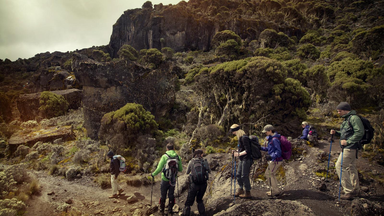
HEATHER ZONE
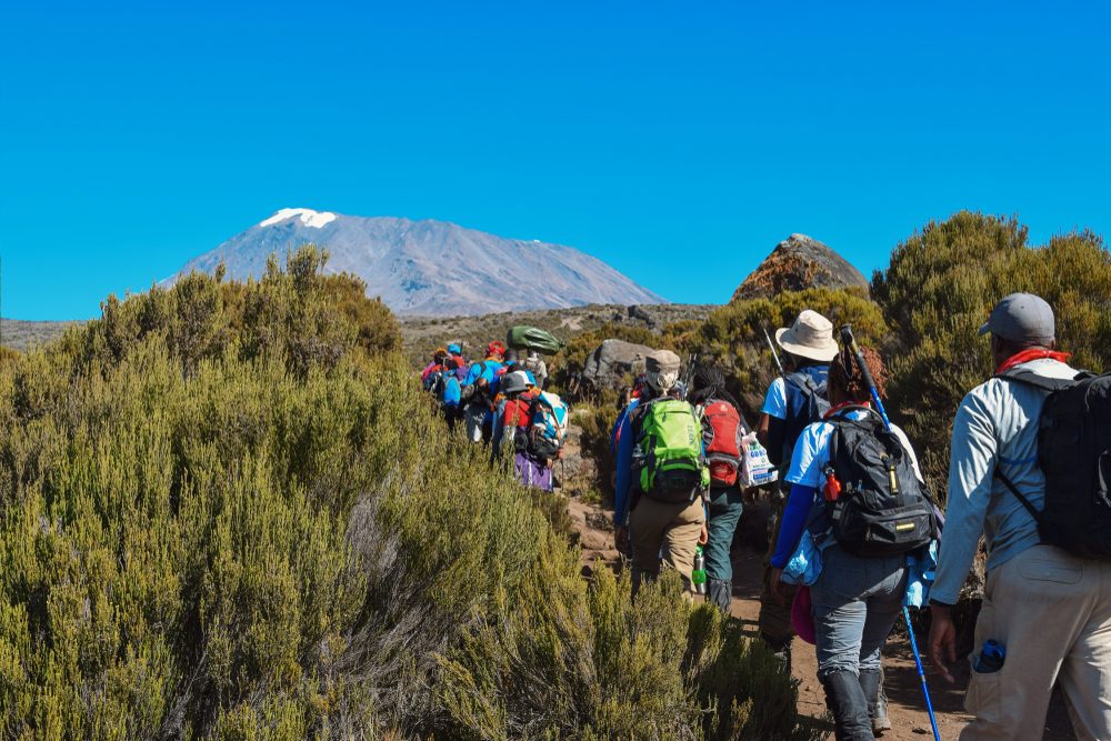
Altitude: it is approximately 9,200 ft. 13,200 ft. (2800m – 4000m) Its also known as moorland, whereby the temperature here is erratic hence during the daytime temperature can rise up to 100° F (40oC) yet drop below freezing (32° For 0° C) at night. This semi-alpine zone is characterized by heath-like vegetation and abundant wildflowers, whereby according to mountain medicine the heath zone is in the high altitude ‘region’. These temperatures combined with less rain, gusting winds, giant heathers, wild grasses, and a rocky trail replaces the rainforest very quickly. Some of the heather scrubs can grow to over 30 ft. high. As you climb high grasses replace the heather as you enter into the Moorland zone.
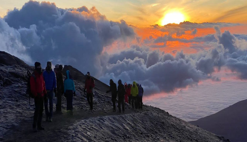
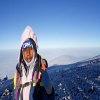
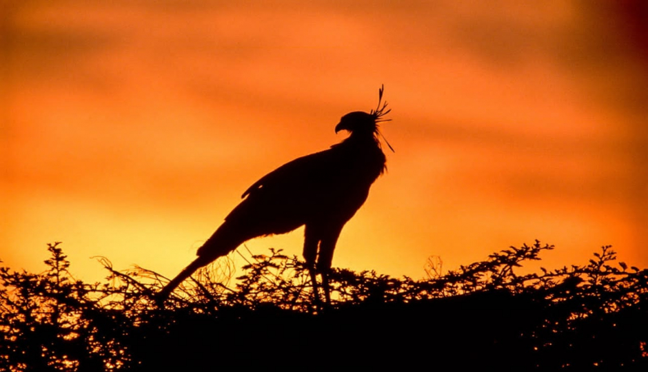
Bulky fields of wildflower cover sections of the mountain and you will often see clouds floating at your eye level. Expect amazing blue skies at the upper end of this zone. There will be little cloud cover to protect you from the sun. Now that you are above the cloud line the views of the rainforest below and the top of Kilimanjaro 7,000 ft. above are merely breathtaking. Once the sun sets, the stars are overflowing in the night skies and create a truly peaceful environment. Most common birds seen in the moorland zone are easily recognized black and white crows which forage around camp.
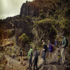
ALPINE DESERT ZONE
Altitude: it is approximately 13,200 ft. -16,500 ft. (4000m – 5000m). This area of the mountain receives few rainfalls, and the temperature of this region can reach over 100° F during the day. The yearly rainfall is less than 8 inches a year. The result of thin air and proximity to the equator results in very high levels of solar radiation. This zone also shows off its violent past with fields of volcanic rock of all shapes and sizes. You are now close enough to the pinecone of Kibo to see the huge glaciers that cling precariously to its steep ledges. It has deep gorges on the slopes and breaches in the crater rim where molten lava blasted through during prehistoric eruptions. The landscape is barren and stranger than anything you may have seen before. Make sure to bundle up at night. At this altitude, the mercury dips well below freezing and you may wake up to frost on the ground in the morning. This arid has thin soil that retains little water, which makes it inhospitable to most plant and animal species.
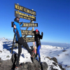
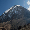
ARCTIC ZONE
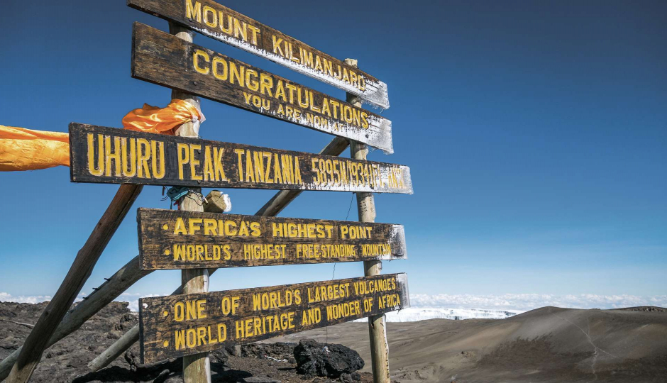
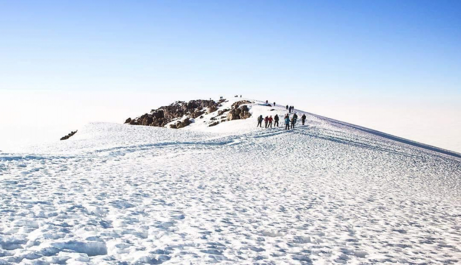
Altitude: it is approximately 16,000 ft. -19,340 ft. (5000m – 5895m) Well recognized as the finishing of hiking up Kilimanjaro, this zone has its lower segment which is made up of loose dust and gravel well-known as scree. Scree is quite difficult to climb. And an area like this in Africa's equatorial belt is like finding a swath of rainforest in the middle of an Arctic glacier. Which are categorized by ice and rock? And this leads to a reason summit attempts begin at night when the evening dew has settled and frozen. This allows the scree to join together making it a more stable path. As you hike, ice will begin to appear in patches and soon in large fields as you approach the lower reaches of the summit glaciers.
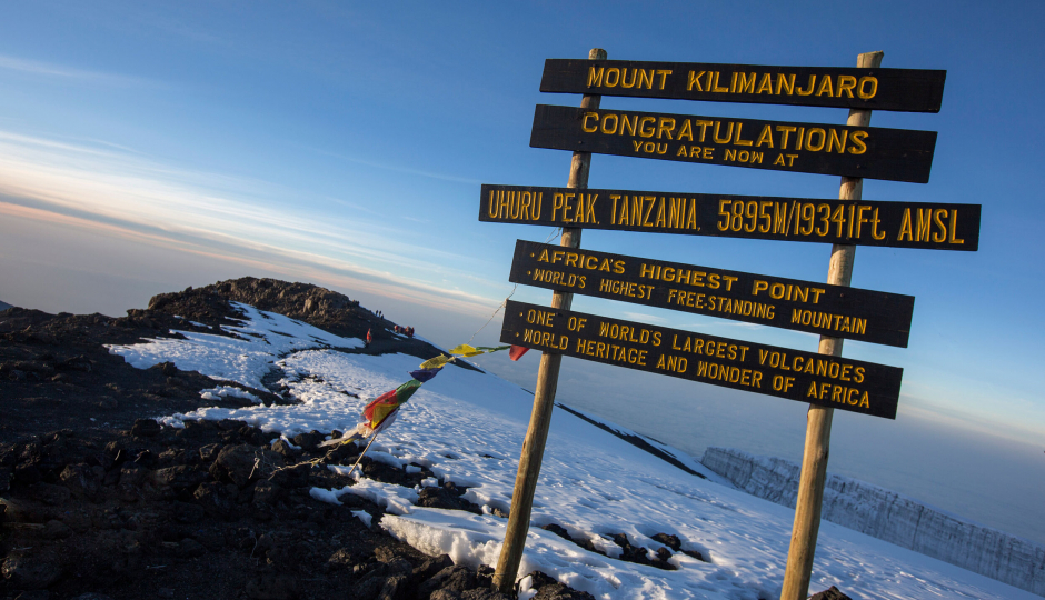
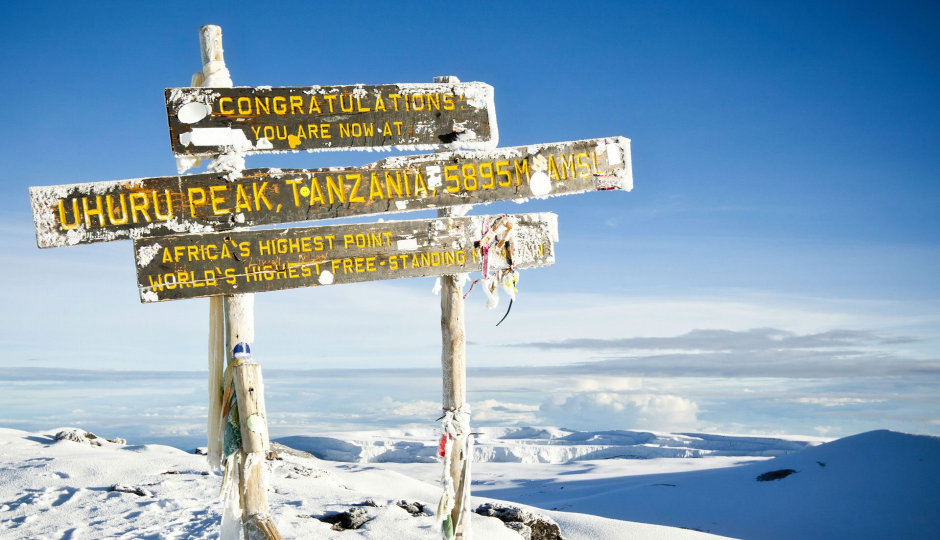
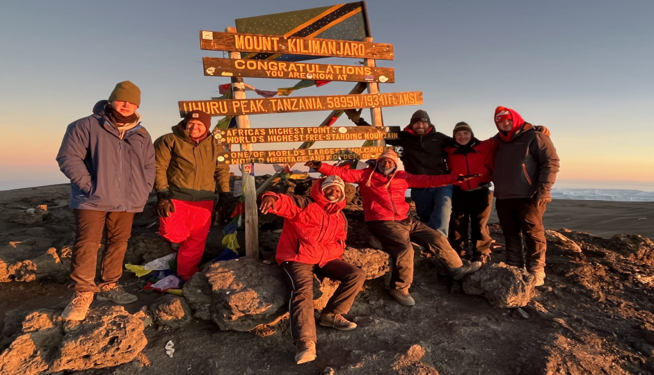
The traditional summit route takes you up to the rim of the volcano at Stella Point then heads west for one last push. You will follow the crater rim as it rises beside a massive glacier to Uhuru peak; you lastly approach the sign that signifies the achievement that you just accomplished. You have completed the Roof of Africa. To the east, the peak of Mawenzi is just visible behind the crater rim, and to the north; Kenya spreads out on the horizon. The Crater is an enthralling place and if you still have some energy in reserve, it's well worth making the short trip, inside the inner crater is the Ash Pit and at 1,1oo ft. (360m) across by 393 ft. (120m) deep, it’s one of the largest in the world.